
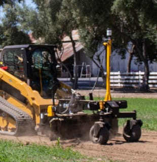
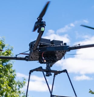


Unmanned Aircraft Systems (UAS) Aerial Imaging solutions are designed to drastically reduce time and cost to collect aerial data and guarantee the reliability you need. Aerial imaging can be used to perform a variety of tasks and produce a range of deliverables.
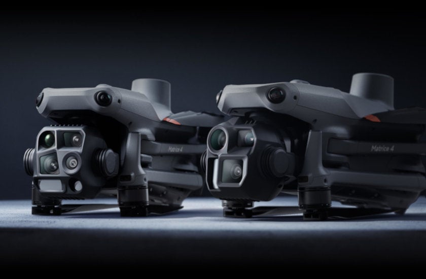
A new compact and intelligent multi-sensor flagship drone series for enterprise industries. The series includes Matrice 4T and Matrice 4E, each equipped with advanced features such as smart detection and measurement with laser range finder.
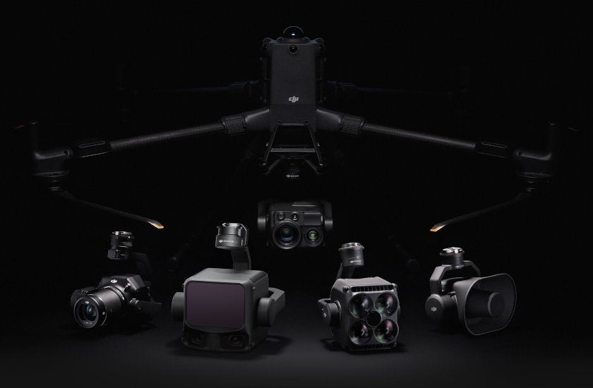
The enterprise flagship drone platform, boasts an impressive 59-minute flight time, a payload capacity of up to 6 kg, and integrated rotating LiDAR and mmWave radar for power-line-level obstacle sensing.
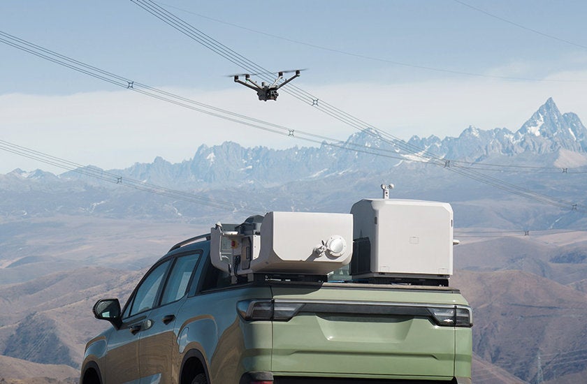
DJI Dock 3 empowers 24/7 remote operations and, for the first time, supports mobile vehicle-mounted deployment, effortlessly adapting to various environments.
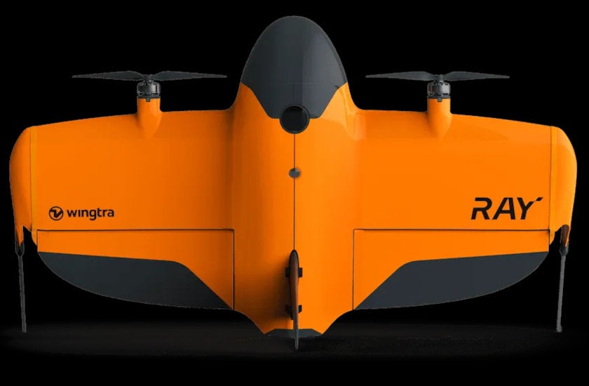
The professional survey drone that delivers CAD/GIS-ready data with centimeter accuracy, within hours. WingtraRAY includes tightly integrated LIDAR, RGB, and multispectral sensors. Switch between them as needed and generate accurate, CAD/GIS-ready outputs.
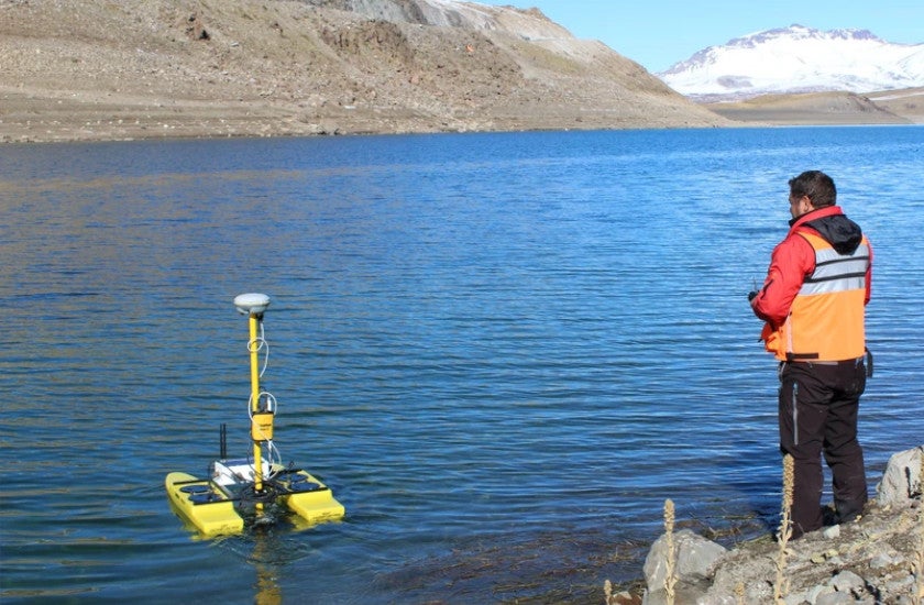
For inspection / survey of mines, sewage treatment plants, contaminated lakes, and rivers. *Both remotely controlled and autonomous navigation suites available.
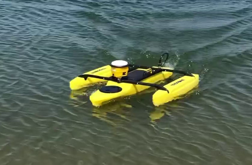
For inspection / survey of steeply-banked rivers & lakes, mines, sewage treatment plants, contaminated waters.
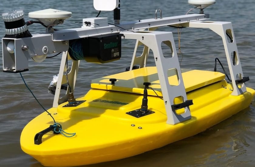
For inspection / survey of mines, sewage treatment plants, lakes, harbors, rivers, and in-shore areas. *Both remotely controlled and autonomous navigation suites available.
 WARNING
This product can expose you to chemicals including Lead and lead compounds, which is known to the State of California to cause cancer and birth defects or other reproductive harm. For more information go to www.P65Warnings.ca.gov